The Submerged Anchors of Dwarka: What Marine Archaeology and Geology Reveal About the Epic Legend
Marine excavations at Bet Dwarka and Gomati Creek reveal historical anchorage sites, but coastal geomorphology and anchor styles point to active medieval trade rather than a single submerged epic metropolis.

Vikram Joshi for SwavedaOctober 20, 2026
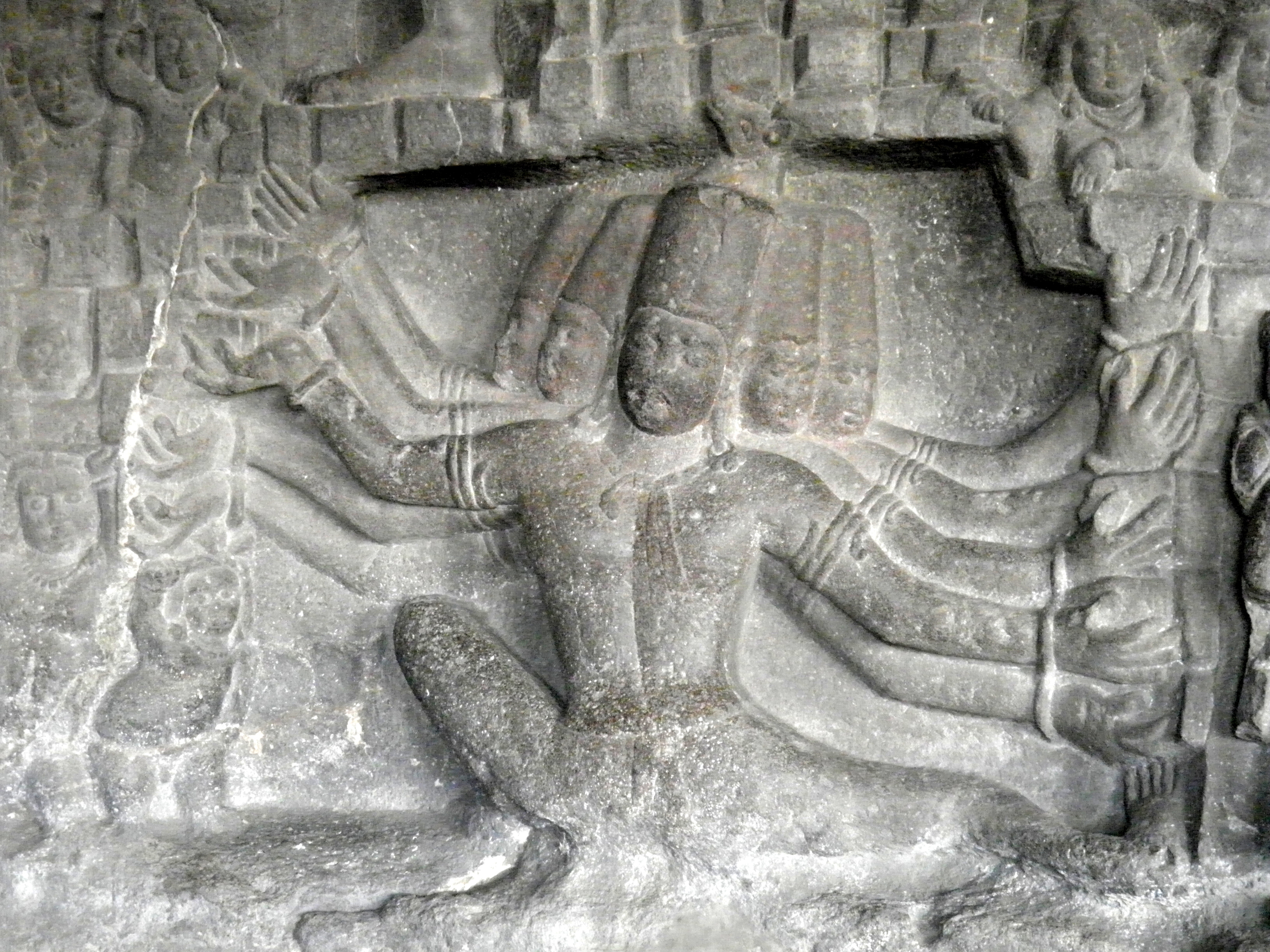
In the Mausala Parva (Book of the Iron Club) of the Sanskrit epic Mahābhārata, the text describes a dramatic coastal event: as Krishna departs the mortal realm, the sea rises to submerge his capital city (Swaveda). Tradition holds that this lost city lies submerged off the Okhamandal peninsula in modern Gujarat, buried under the waves of the Arabian Sea (Swaveda).
Over the past four decades, marine archaeologists and geologists have conducted underwater surveys and sediment analyses across the Gulf of Kutch to test this narrative against physical reality (Swaveda). The resulting seabed record presents a compelling story of maritime history, though one distinct from popular expectations.
The Underwater Discoveries off Saurashtra
Systematic underwater explorations off the Saurashtra coast began in the early 1980s under the leadership of marine archaeologist S.R. Rao (Swaveda). Working under the Marine Archaeology Centre (MAC) at the National Institute of Oceanography (NIO), teams conducted SCUBA dives at Gomati Creek near modern Dwarka and off Bet Dwarka island (Scribd).
At depths ranging between 3 and 12 meters, divers documented numerous stone features (Swaveda). Evidence shows that the seabed contains dressed limestone blocks, circular stone basements, and scattered masonry courses (ResearchGate). Among the prominent artifacts cataloged were large numbers of stone anchors (International Journal of Nautical Archaeology).
The anchors fall into two main typology categories (ResearchGate):
- Triangular composite anchors, featuring three drilled holes intended to hold wooden flukes and anchoring ropes (International Journal of Nautical Archaeology).
- Prismatic or Indo-Arab style anchors, which consist of long vertical shafts cut with square or rectangular cross-sections (ResearchGate).
Subsequent studies by marine archaeologists A.S. Gaur and Sundaresh established that these anchor styles match design patterns widely used across the Indian Ocean and Western Asia (ResearchGate).
Dating the Finds: Anchorage or Epic City?
S.R. Rao initially interpreted the stone structures and composite anchors as the remains of a vast Bronze Age port city, suggesting a date between 1500 BCE and 1700 BCE (Scribd). He argued that the underwater stone walls aligned with descriptions of city fortresses found in the Mahābhārata and later Purāṇa texts (Scribd).
However, scholars debate this early chronology based on comparative artifact analysis and geological context (Swaveda).
Evidence shows that composite stone anchors were used across long timelines (International Journal of Nautical Archaeology). While triangular stone anchors appeared in Mediterranean contexts as early as the Bronze Age, the Indo-Arab grapnel anchors documented at Dwarka and Bet Dwarka are characteristic of historical and medieval maritime trade (ResearchGate). Similar anchors found at eastern and western Indian ports—such as Somnath, Aramda, and Mithi Virdi—date from the 8th century CE to the 14th century CE (ResearchGate).
Furthermore, terrestrial excavations on land near the Dwarkadhish temple complex carried out by the Archaeological Survey of India (ASI) identified eight distinct historical occupation levels (Scribd). The earliest layers contained Red Polished Ware pottery along with kārṣāpaṇa (ancient copper coins), placing the earliest urban occupation at this specific land site to around the 1st century BCE to the 1st century CE (Scribd).
Rather than confirming a single submerged city, the high density of anchors points to a functional harbor and anchorage zone (ResearchGate). Vessels navigating the Okhamandal coast dropped heavy stone anchors, which frequently snapped their moorings or became trapped in seabed rocky crevices over centuries of active trade (ResearchGate).
Marine Geology and Coastal Dynamics
To evaluate whether a catastrophic sea-level event submerged an entire urban settlement, geologists analyze Holocene marine transgressions (episodes when relative sea level rises against the land) (Swaveda).
Geoarchaeological data along the western coast of India indicates that global sea levels rose rapidly after the Last Glacial Maximum, stabilizing near current levels during the mid-Holocene (IndiTales). Over the past 2,000 to 3,000 years, local sea levels along the Gujarat coastline have fluctuated within a narrow band of 1 to 2 meters (IndiTales).
Because the coastal topography of the Saurashtra region features low-gradient tidal flats and shallow inlets, even minor changes in sea level—combined with coastal erosion and monsoon storm surges—can shift the shoreline significantly (IndiTales). Structures built directly along riverbanks or intertidal zones, such as piers, retaining walls, and jetties, naturally succumb to coastal submergence and erosion over time (ResearchGate).
Additionally, the Gulf of Kutch is an active tectonic zone (Swaveda). Episodic earthquakes along local fault lines can cause localized coastal subsidence, causing shoreward land to drop beneath sea level relative to the high-tide line (Swaveda).
Bridging Textual Memory and Physical Archaeology
Tradition holds that Dvārakā was a magnificent, golden city reclaimed entirely by the sea in a single dramatic moment.
Archaeological and geological evidence shows a different, more complex reality (Swaveda): the waters off Okhamandal served as an active anchorage site for centuries, where coastal erosion, tectonic shifts, and seasonal flooding progressively claimed harbor structures and stone anchors (ResearchGate).
The epic narrative preserved in the Mahābhārata likely reflects a cultural memory of these real coastal shifts (Swaveda). Ancient populations living along the dynamic Saurashtra coast witnessed harbors silt up, jetties submerge, and shorelines retreat (IndiTales). These environmental experiences were preserved through oral recitations, poetically framing gradual sea-level changes as a single, sudden engulfment (Swaveda).