The Marine Geomorphology of Dwarka: Submerged Architecture Claims vs. Holocene Sea-Level Curves
Off the coast of Gujarat, submerged stone blocks and anchors spur claims of epic ruins. Marine archaeology and coastal geomorphology present a more measured picture of ancient ports and natural beachrock.

Vikram Joshi for SwavedaNovember 21, 2026
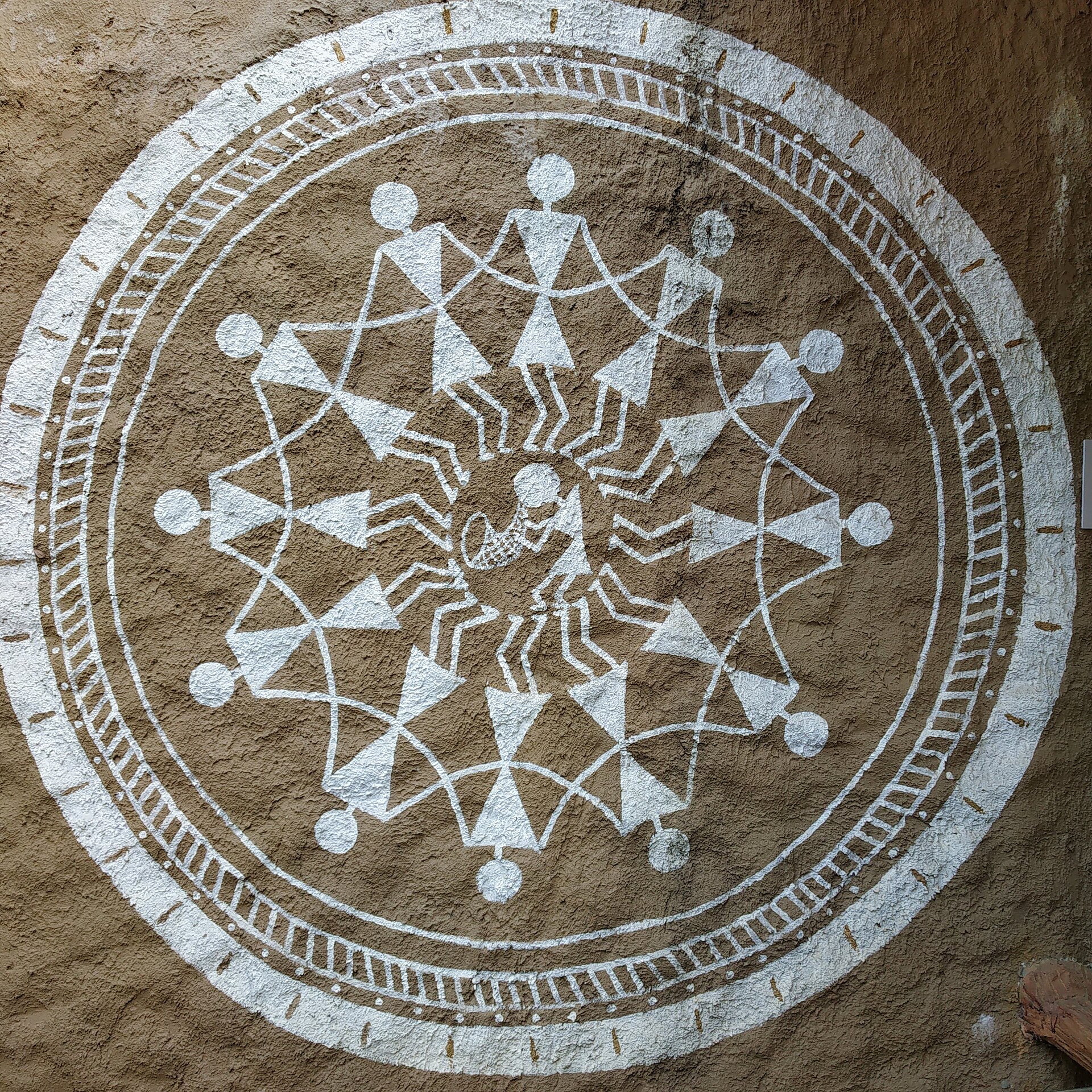
The Mausala Parva (Book of the Clubs, the 16th book of the Mahabharata) describes the ocean rising to swallow the city of Dwarka immediately following Krishna's departure. For decades, proponents of early epic dating have pointed to submerged features off the Saurashtra coast of Gujarat as physical proof of this event.
Tradition holds that a golden city was engulfed by the Arabian Sea in a single catastrophic inundation. Evidence shows, however, that the seabed off modern Dwarka and Bet Dwarka contains a complex mix of historical port infrastructure, stone anchors, and naturally weathered marine geology shaped by Holocene sea-level shifts.
The Findings of Marine Archaeology
Systematic underwater exploration off the western coast began in the 1980s under S.R. Rao of the Marine Archaeology Unit (MAU), established within the National Institute of Oceanography (NIO). Subsequent surveys have been conducted by the Underwater Archaeology Wing (UAW) of the Archaeological Survey of India (ASI) under Prof. Alok Tripathi.

Divers operating in water depths between 3 and 12 meters discovered numerous submerged artifacts:
- Triangular and composite stone anchors: Featuring drilled holes typical of ancient Indo-Arabian and Mediterranean maritime trade designs.
- Dressed stone blocks: Rectangular masonry elements aligned near the mouth of the Gomti River.
- Structural remnants: Pier-like alignments, circular foundations, and submerged masonry wall sections.
- Pottery and small finds: Shards of historical pottery, including Red Polished Ware, as well as shell artifacts.
S.R. Rao proposed that these submerged structures represented the remains of a Bronze Age fortification and harbor town dating to approximately 1500 BCE, destroyed by a catastrophic marine transgression (sea encroachment).
Distinguishing Architecture from Beachrock
Scholars debate the interpretation of these submerged features. While early survey reports characterized extensive linear features as defensive walls and city bastions, later marine geomorphology studies introduced important caveats.
Along the intertidal and shallow submerged zones of the Saurashtra coast, natural geological formations known as beachrock frequently form. Beachrock consists of coastal sediments—sand, shell fragments, and gravel—rapidly cemented together by calcium carbonate in the intertidal zone. As wave action and coastal erosion fracture these consolidated layers, beachrock breaks into neat, rectangular slabs that strongly resemble quarry-cut masonry or collapsed stone walls.
A 2004 analysis published in Current Science by researchers from the National Institute of Oceanography evaluated the submerged stone arrangements off Dwarka. The study concluded that while many triangular stone anchors are undeniably man-made artifacts confirming an active historical harbor, many of the linear stone alignments are remnants of an ancient jetty or collapsed harbour infrastructure from the historical and late medieval periods, rather than an extensive Bronze Age city wall.
Holocene Sea-Level Curves along the Gujarat Coast
To evaluate whether a city sank rapidly, geologists measure local Holocene sea-level curves. Following the Last Glacial Maximum (around 20,000 years ago), global sea levels rose rapidly as continental ice sheets melted.
In the Arabian Sea and along the Gulf of Kutch, regional sea-level data demonstrate:
- Early Holocene Transgression: Sea levels rose quickly between 10,000 and 6,000 years ago.
- Mid-Holocene Highstand: Between 6,000 and 4,000 years ago, sea levels along the Gujarat coast reached 1 to 3 meters higher than present-day levels.
- Late Holocene Stabilization: Over the past 4,000 years, regional sea levels experienced minor fluctuations of 1 to 2 meters, alongside localized tectonic uplift and coastal erosion.
Geological data indicates there was no massive, regional 10-meter oceanic surge during the mid-to-late second millennium BCE. Instead, shoreline migration occurred gradually. Structures built close to high-tide lines or inside river estuaries—such as jetties, slipways, and coastal mooring posts—were routinely inundated by local coastal erosion, shifting estuarine currents, and normal sea-level adjustments over centuries.
Reconciling Epic Memory and Material Evidence
The physical evidence along the Dwarka seabed does not support the imagery of an entire metropolis engulfed overnight by the sea. What the seabed does demonstrate is a long history of maritime activity.
Dwarka's position on the tip of the Kathiawar Peninsula made it an essential landfall point for sailors navigating between the Persian Gulf, the Red Sea, and the Indian subcontinent. The abundance of three-holed stone anchors indicates that ships anchored off this coast repeatedly over a period spanning the Late Harappan transition down to the medieval era.
As shorelines shifted and older coastal installations were abandoned to wave action, later generations living along the coast observed submerged masonry and jetties just offshore. Scholars debate whether the oral traditions recorded in the Mausala Parva preserved the memory of actual localized coastal flooding and port submersion, which was later expanded into epic poetry.
The archaeological record off Dwarka presents a clear distinction: while literary tradition records a catastrophic submersion of a divine city, marine archaeology and geomorphology document a historical port system whose structures succumbed to routine coastal dynamics over centuries.