The Stratigraphy of Farmana: Micro-Morphology and Residue Analysis in the Ghaggar Basin
Soil micromorphology and lipid residue testing at Farmana show how agricultural strategies in Haryana grounded early urban clustering without sudden population collapses.

Rohan Bhattacharya for SwavedaNovember 10, 2026
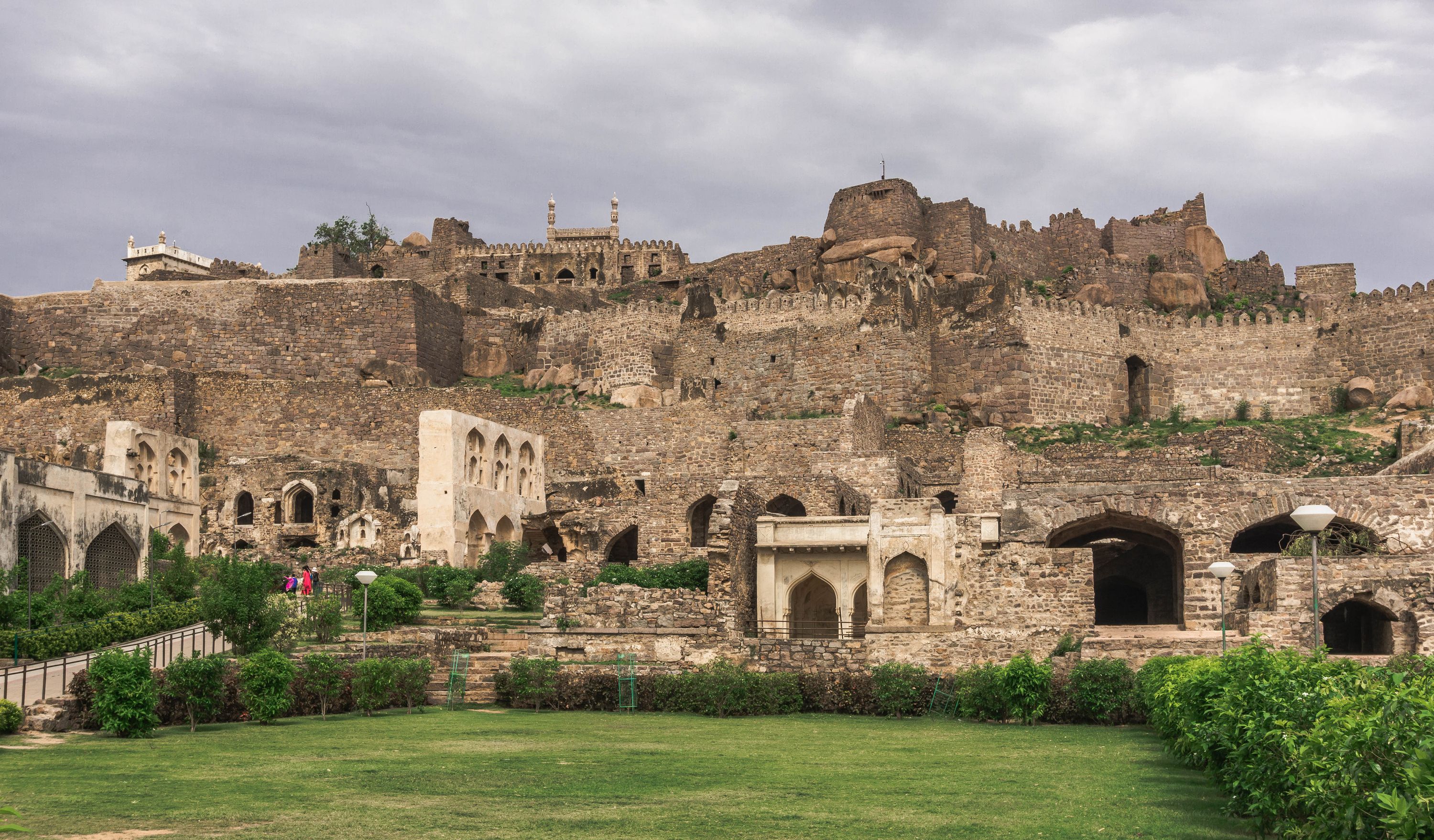
The search for urban origins in the Ghaggar-Hakra basin rarely turns on dramatic discoveries. It rests on soil profiles, charred grains, and pot sherds small enough to fit inside a specimen vial. When excavations at Farmana (locally known as Daksh Khera) in Haryana’s Rohtak district systematically exposed its 18.5-hectare footprint, the trench walls revealed a continuous sequence of human occupation rather than a story of sudden civilizational intrusion (Wikipedia). Joint investigations led by Vasant Shinde of Deccan College and Toshiki Osada of the Research Institute for Humanity and Nature (RIHN) in Kyoto (Harappa.com) (Scribd), alongside teams from Maharshi Dayanand University and under the aegis of the Archaeological Survey of India (ASI) (Wikipedia), provided the physical evidence needed to track how regional village clusters evolved into Mature Harappan urban centers.
Untangling this cultural sequence requires reading vertical sections with field-archaeological skepticism. Sites along the seasonal Ghaggar basin undergo recurrent agricultural disturbance, salt-petre (potassium nitrate deposits) action, and seasonal flooding, which can mix upper and lower occupational levels. Rather than relying on sweeping abandonment narratives, archaeologists turn to micro-botanical residue testing and soil stratigraphy to understand the transition from the localized Sothi-Siswal horizon to full urban maturity.
Soil Layers and Architectural Transitions
In field archaeology, stratigraphy—the analysis of layered soil deposits—provides the primary framework for establishing relative chronology. At Farmana, the habitational deposit spans approximately eight meters (Haryana Tourism). The lowest occupational levels feature pit-dwellings and localized ceramic traditions tied to the Hakra and Sothi-Siswal phases (Haryana Tourism) (Scribd). Higher up the trench profile, these organic pit structures yield to mudbrick architecture laid out in standardized ratios.
The excavation report published by the Indian Archaeological Society documents structural complexes built with sun-dried mudbricks manufactured in the classic 1:2:4 ratio (Haryana Tourism) (Bagchee). Rather than showing an abrupt disruption where one population replaced another, the vertical sections trace how local builders incorporated standardized construction norms directly over earlier habitation debris.
Micro-morphology—the study of undisturbed soil samples under high magnification—reveals how domestic floor surfaces were swept, repaired, and relaid over decades. Micro-debris analysis shows that household activity areas shifted across the site as structural walls were renovated. Storage pits, open hearths, and grinding areas were continuously reconfigured within existing residential boundaries. Evidence shows that the transition to urban spatial organization was an internal, cumulative process of spatial restructuring rather than a sudden urban overhaul imposed from outside.
Ceramic Horizons and Residue Analysis
The ceramic sequence at Farmana further clarifies this transition. Early levels contain significant quantities of Sothi-Siswal wares, including thin-sectioned red pottery with black painted bands and rusticated surfaces (coating the lower vessel with a mud slurry to assist heat absorption during cooking) (Swaveda). As the settlement expanded into the Mature Harappan phase, these regional wares did not vanish; instead, they continued alongside mass-produced, black-on-red classic Harappan vessels, wheel-thrown storage jars, and perforated stoneware vessels (Harappa.com).
To understand how these ceramic changes related to daily life, researchers analyzed absorbed lipid residues extracted from potsherds. Lipid residue analysis extracts trapped ancient fats, waxes, and resins from unglazed pottery matrix to identify what was cooked or stored inside.
⚖ Scholarly debate persists over the exact dietary ratios represented in ceramic lipid profiles due to differential degradation rates of plant and animal fats over millennium-long burials. However, gas chromatography-mass spectrometry testing conducted on vessels from Farmana and neighboring sites in northern Haryana identified lipid signatures of both plant products and animal fats, including dairy and carcass processing (Harappa.com). The presence of similar lipid signatures in both regional Sothi-Siswal vessel shapes and standardized Mature Harappan jars indicates continuity in basic food processing techniques across different ceramic styles.
Agricultural Foundations of Ghaggar Urbanism
Botanical remains retrieved through soil flotation at Farmana offer complementary evidence regarding the agricultural base that supported urban expansion. Archaeobotanical studies led by Steve Weber and colleagues documented a multi-cropping strategy utilizing both winter (rabi) crops—such as barley and wheat—and summer (kharif) crops, including seasonal millets (WSU).
Over the occupational lifetime of the site, flotation samples indicate shift patterns in crop selection. Winter cereals like wheat and barley gradually declined in relative abundance within upper levels, while summer crops maintained a stable presence (WSU). Researchers suggest that localized shifts in seasonal rainfall patterns in the Ghaggar-Hakra basin encouraged farmers to adjust crop choices to mitigate environmental risk.
This agricultural flexibility allowed settlements like Farmana to sustain dense populations without suffering catastrophic economic collapses when regional water availability fluctuated. Soil stratigraphy, botanical samples, and ceramic residue data collectively indicate that urban clustering along the Ghaggar-Hakra basin was anchored by adaptable, multi-crop farming systems capable of absorbing environmental shifts over long periods.