The Stepwells of Vidarbha: Micro-Hydrology and the Yadava Masonry of Ramtek
Kapur Bawli near Ramtek demonstrates how medieval Yadava masons engineered dry-basalt stepwells to capture seasonal groundwater in Vidarbha's semi-arid terrain.

Dr. Anil Patel for SwavedaNovember 17, 2026
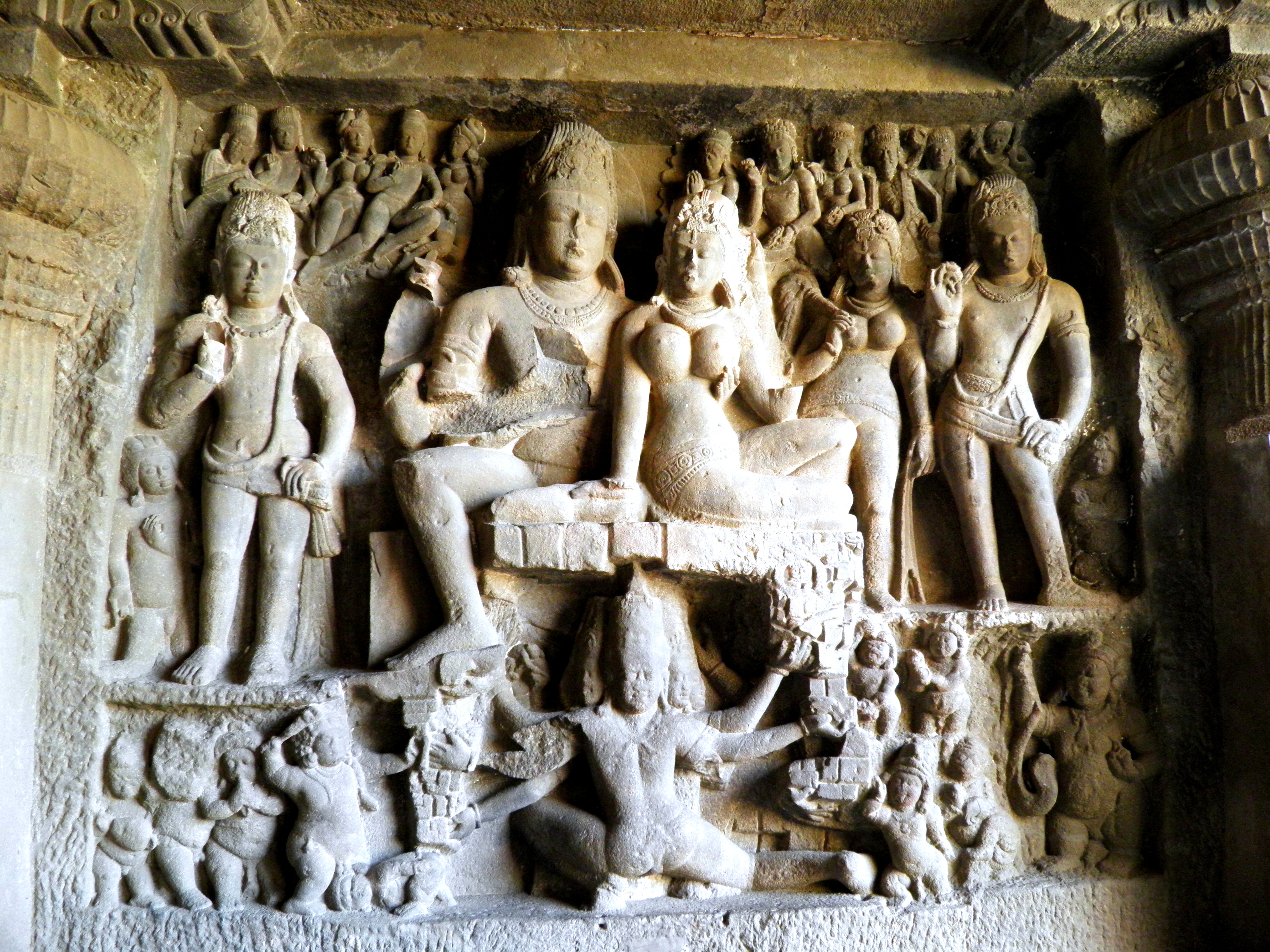
Nestled in dense forest at the foothills of Sindhuragiri, roughly 50 kilometers northeast of Nagpur and just southeast of the Jain temple complex in Ramtek, lies Kapur Bawli (also known as Karpur Baoli). Local oral tradition holds that its waters once possessed a natural camphor-like (karpur) fragrance and medicinal properties. Beyond regional folklore, the structure presents a compelling case study in medieval micro-hydrology, Deccan rock mechanics, and architectural stratigraphy.
The hydro-geological setting of Vidarbha dictates the mechanics of traditional water storage. The region sits atop the Deccan Traps, a massive volcanic formation composed primarily of hardened basalt lava flows. Basalt itself possesses low primary porosity, meaning the rock matrix holds little fluid within its micro-pores. However, secondary porosity—created by tectonic fracturing, cooling joints, and weathered inter-trappean layers—allows groundwater to move through localized fractures.
In semi-arid Vidarbha, where seasonal monsoons are followed by severe dry periods, capturing this subsurface flow required deliberate engineering. Stepwells (baolis) in this terrain were not designed as simple holding tanks filled from above. Instead, they functioned as open-cut extraction pits sunk directly into fracture zones. By cutting deep into the basalt, medieval builders intersected saturated rock fissures, allowing groundwater to seep horizontally into the basin while shielding the stored water from rapid atmospheric evaporation under scorching summer heat.
Architecturally, Kapur Bawli measures 23 feet on each side in a square step-well design, descending to a depth traditionally estimated at around two meters before centuries of silt accumulation obscured its lower floor. Surrounding the central basin was a sabha mandap (assembly hall). Archaeological survey notes document that the structure was once supported by nine pillars on each side. Today, 24 standing pillars and 27 broken pillars remain visible along its perimeter. On its western edge sit three ruined shrines, including a sanctum (garbhagriha) associated with Shakti traditions and dedicated locally to six goddesses, including Chamunda and Bhairavi.
Chronologically, the site reflects overlapping historical periods. Local narratives often describe the stepwell as a 1,200-year-old structure originating in the 8th to 10th centuries CE. However, physical examination of the stone joinery places its primary construction between the 10th and 12th centuries CE under the regional patronage of the Yadava dynasty.
The masonry reflects the classic Hemadpanti style. This medieval Deccan technique relies on dry masonry—fitting dressed basalt blocks precisely together using interlocking tenons, socket joints, and gravity rather than lime mortar. The absence of mortar allowed structural joints to accommodate slight ground movement while permitting trapped groundwater to seep into the well cavity through micro-gaps between the dry-fit blocks.
Epigraphic records from the surrounding Ramtek hill provide crucial context for dating the wider complex. Epigraphic markers, such as the Sanskrit inscriptions at the nearby Lakshman Swami temple, reference the reservoir under the name Karpoorvapi. Regional literary sources also track its presence; the Sthanapothi, a foundational text of the 13th-century Mahanubhav Panth sect, explicitly records the stepwell during its inventory of sacred geography in Vidarbha. British surveyor Alexander Cunningham later recorded the ruined temples abutting the stepwell in early Archaeological Survey of India (ASI) reports.
⚖ Scholarly debate exists regarding the structural chronologies of the Ramtek ridge. One school of epigraphists and architectural historians argues that the stepwell's lower basalt foundation represents early medieval construction from the late Vakataka to Post-Vakataka transition (6th to 8th centuries CE), pointing to primitive rock-cutting profiles along the lowest step courses. Under this model, the Yadava-era Hemadpanti masonry represents a 12th-century rebuilding and expansion program over an existing hydraulic source.
Conversely, structural engineers and archaeologists prioritizing masonry style argue that the uniform dry-interlocking block technique across the wall faces indicates a single, unified construction phase executed entirely under Yadava rule between the 10th and 12th centuries CE. Under this view, references in earlier texts reflect the site's natural spring rather than the stone stepwell standing today.
Today, the stepwell faces acute preservation challenges. Silt, fallen stones, and organic debris washed down from the surrounding hills have filled much of the basin, while heavy vegetation roots displace the mortarless basalt blocks. While the site falls under the jurisdiction of the Archaeological Survey of India, public heritage documentation highlights ongoing structural decay.
Kapur Bawli remains a clear physical record of how medieval Deccan engineers mapped Vidarbha's saturated basalt matrix, turning fracture-hydrology into permanent civic infrastructure.