The Saraswati River: Reconciling Vedic Tradition with Geological Data
Scholars analyze the shifting geography of the Ghaggar-Hakra paleochannel to determine if it aligns with the Saraswati river described in early Sanskrit hymns.

Vikram Joshi for SwavedaJuly 19, 2026
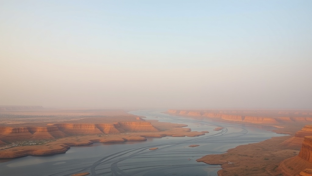
The Rigveda, the oldest of the four Vedas (ancient collections of hymns), describes the Saraswati as a mighty, perennial river flowing from the mountains to the sea. Identifying this river in the modern landscape has remained a subject of intense academic inquiry for over a century. The core of the debate involves mapping the hydrological history of the Ghaggar-Hakra channel—a dry or seasonal drainage system running through parts of Punjab, Haryana, Rajasthan, and Pakistan—against the literary descriptions found in early texts.
The Textual Foundation
Tradition holds that the Saraswati was a major river system. In the Rigvedic hymns, particularly the Nadistuti Sukta (Hymn of the Praise of Rivers), the river is placed between the Yamuna and the Sutlej. Proponents of the theory that the Ghaggar-Hakra represents this river point to its size, which suggests that it was once a much larger, glacial-fed waterway.
However, scholarly caution is required here. While the Vedas describe the Saraswati as a "river of rivers," scholars debate whether these verses refer to a geographical reality fixed in time or a conceptual, semi-mythological entity. The text reflects a period when the river was central to the life of the Vedic people, but linguistics alone cannot provide a date for when that river ceased to flow.
The Geological Record
To bridge the gap between text and landscape, researchers rely on paleo-environmental evidence. Geomorphology—the study of the physical features of the earth’s surface—reveals that the Ghaggar-Hakra channel is a complex system of former riverbeds.
A 2017 study published in Nature Scientific Reports by A.K. Singhvi and colleagues utilized optically stimulated luminescence (OSL)—a method used to date the last time mineral grains were exposed to sunlight—to analyze the history of the river. Their findings indicate that the Ghaggar-Hakra was fed by glaciers during the early Holocene period but that this connectivity was severed as the climate shifted. The researchers conclude that the river system transitioned from a perennial, glacier-fed stream to a monsoon-fed river around the mid-Holocene.
This finding complicates the traditional narrative. If the river was already monsoon-fed by the time of the Indus Valley Civilization's maturity, the "mighty" glacier-fed Saraswati of the Rigveda would have to predate the urbanization seen at sites like Harappa or Mohenjo-daro.
Archaeology and the "Lost" River
The archaeological record provides another layer of complexity. The distribution of settlements along the Ghaggar-Hakra channel is dense, particularly during the Early Harappan and Mature Harappan phases. According to research summarized by Dr. Dorian Fuller in the Antiquity journal, the proliferation of these sites suggests that the region was a fertile, well-watered flood plain for a significant duration.
Yet, evidence shows that the decline of these settlements correlates with long-term aridification. As the Indian Summer Monsoon weakened, the discharge of the Ghaggar-Hakra diminished. By the late second millennium BCE, the river was likely a series of disconnected seasonal streams rather than a single, perennial artery.
Distinguishing Tradition from Data
When comparing these two registers, the conflict becomes clear. The Vedic tradition describes a river that provided a consistent supply of water, allowing for settlement along its banks. The geological data confirms that a large river once flowed through the region, but also proves that its flow was intermittent and subject to the vagaries of climate change.
The disagreement among scholars often centers on timing. Some argue that the river must have been perennial during the composition of the hymns, implying that the Vedas were composed much earlier than most archaeological models suggest. Others, such as Dr. Michel Danino, posit that the Rigvedic memory of the river persists even as the river itself began to shrink.
Archaeological surveys by the Archaeological Survey of India have identified numerous sites along the dried-up course, confirming human reliance on the system. However, connecting a specific pottery style or a specific period of human occupation to the exact timeframe when the river dried up requires precise chronological data that remains elusive.
Conclusion
The identity of the Saraswati is not a matter of a single, solved equation. It is an intersection of human memory and changing physical geography. While evidence shows that the Ghaggar-Hakra channel was a significant hydrological feature of Northwest India, the transition from a glacial-fed system to a monsoon-fed one is a process that occurred over millennia.
Scholars debate whether the Rigveda describes the river at its peak or in its final, fading stages. What remains consistent is that the Saraswati occupied a central place in the cultural geography of the people who composed the hymns. Archaeology allows us to see the banks they walked upon; the geological record allows us to see the water they relied upon; but the Vedas remain the only record of what that river meant to them.