Sullivan’s Ascent: Engineering the Nilgiris
John Sullivan’s 1820s road project fundamentally reshaped the Nilgiri plateau, turning the isolated highlands of Udhagamandalam into a colonial administrative center.

Kavya Sharma for SwavedaJuly 16, 2026
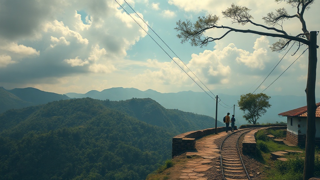
The Nilgiri plateau—the Blue Mountains—was once a world apart. Before the colonial administration turned its gaze upward, the high-altitude grasslands of Udhagamandalam (Ooty) were sustained by the Toda, Kota, and Badaga communities. These groups navigated the steep, forested slopes via narrow, winding footpaths. These routes were suited to local transit but were impassable for the heavy transport required by the British East India Company.
In 1819, John Sullivan, the collector of Coimbatore, climbed the mountains with an escort. He was not the first European to set eyes on the plateau, but he was the first to see it as a permanent residence for the British. According to accounts documented in the Gazetteer of the Nilgiris, Sullivan’s primary challenge was physical access. To transform the plateau into a "sanatorium"—a place for rest and health—he had to solve the problem of gravity.
The Engineering of Access
In 1823, Sullivan initiated the construction of a permanent road from the plains at Sirumugai up to the plateau. Before this project, the physical isolation of the mountains preserved the regional ecology. The construction required moving massive amounts of earth and rock to create a gradient gentle enough for pack animals and carts.
Evidence shows this road did more than connect two points; it acted as an ecological conduit. It allowed for the transportation of materials that were previously unavailable in the highlands. As historians like Anthony R. Walker have noted in The Toda of South India, the influx of building materials and labor teams introduced non-native flora and fauna to the high-altitude ecosystem, permanently altering the local landscape.
The physical construction of the road relied on the labor of regional workers who navigated the dense shola (stunted tropical mountain forest) vegetation. The Nilgiri Mountain Railway historical records indicate that Sullivan’s initial track followed a difficult route, often prone to landslides during the intense monsoon rains. The road was a rigid line drawn across a fluid, mountain geography.
A New Social Geography
Once the path was carved, the social structure of the Nilgiris began to shift. The plateau moved from a seasonal grazing ground for local pastoralists to a hub of colonial administration. Sullivan built his own house, "Stonehouse," in Udhagamandalam in 1822. By establishing this residence, he turned the plateau into a destination for the British elite who sought to escape the heat of the Indian plains.
This shift brought a demand for services, agriculture, and infrastructure. Large tracts of land, previously managed under traditional systems, were increasingly brought under colonial revenue schemes. Tradition holds that the Toda people saw the landscape as sacred, with specific sites tied to their religious practice and dairy rituals. The new road brought a demographic change that began to crowd these traditional boundaries.
Scholars debate the extent to which Sullivan’s road directly caused the later land-disputes that marked the mid-19th century. However, primary documents from the Madras District Gazetteers confirm that by the 1830s, the road had facilitated a steady stream of trade in timber, vegetables, and tea. The road became the spine upon which the modern town of Udhagamandalam was built.
Provenance of the Path
The materials used for the road's maintenance tell a story of regional extraction. Granite was quarried from the hillsides, and wood for bridges was taken from the lower slopes. The construction process created a pattern of trade that remains visible today. By facilitating easier access, the road effectively integrated the mountains into the wider economic system of the Madras Presidency.
We look at the Nilgiris now as a popular hill station, but the early 19th century represented a violent rupture in the landscape’s history. The road was not just infrastructure; it was an instrument of policy. Sullivan’s intent to make the mountains habitable for Europeans required that the geography itself be reshaped to suit their logistics.
Today, the remnants of those early paths offer a window into how the British managed the environment. The road did not merely cross the mountains; it claimed them, setting the trajectory for the rapid urbanization that followed. The history of the Nilgiris is, in many ways, the history of how those slopes were conquered by the shovel and the ledger.