Beyond the Pink Shading: Rethinking the Mauryan 'Empire' as a Network, Not a Territory
Schoolbook maps show a solid pink Mauryan empire, but pottery, edicts, and garrison sites suggest a patchy network of nodes and corridors instead.

Rohan Bhattacharya for SwavedaJuly 28, 2026
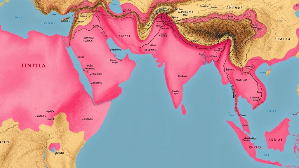
Pick up almost any school history textbook in India, and you will find a map of the subcontinent around 250 BCE covered in a single, unbroken shade of pink. These maps, which depict the Mauryan Empire at its peak, project an image of total territorial sovereignty stretching from modern-day Afghanistan to the borders of Tamil Nadu.
But as any field archaeologist knows, the ground is rarely as neat as the cartographer's ink. When we trade the colored pencils of historical atlases for the trowel and the stratigraphic record, a very different picture of ancient India emerges. The material evidence suggests the Mauryan state was not a modern nation-state with contiguous borders. Instead, it functioned as a network of isolated urban nodes, resource-rich hubs, and the thin trade corridors that connected them.
Three Zones, Not One Blanket
For decades, the dominant historical narrative treated the Mauryan state as a highly centralized bureaucracy. This view was largely reconstructed from literary texts like the Arthashastra (Sanskrit: literally "the science of material gain," a treatise on statecraft and administration) and Megasthenes' Indica (Greek: literally "matters concerning India," a Greek envoy's account of Chandragupta Maurya's court).
However, in her 1987 work The Mauryas Revisited, historian Romila Thapar challenged this assumption. Thapar argued that instead of uniform administrative control, the Mauryan state consisted of three distinct zones: a highly controlled metropolitan center in Magadha (modern Bihar), a series of core areas containing major cities like Taxila and Ujjain, and a vast periphery that remained largely untouched by imperial administration except where valuable resources, such as gold or semi-precious stones, demanded a military garrison.
The archaeological correlates of Mauryan presence bear out Thapar's model. If the Mauryans ruled five million square kilometers of territory with uniform authority, we would expect a relatively consistent layer of Mauryan material culture across the subcontinent. Instead, we find a highly patchy distribution.
What the Pottery Says
Consider Northern Black Polished Ware (NBPW), the distinctive, lustrous luxury ceramic of the Ganges Valley that archaeologists associate with the Mauryan period. NBPW does not carpet the subcontinent. Instead, it appears in dense concentrations along major trade routes — the Uttarapatha (northern route) and Dakshinapatha (southern route) — and at major administrative centers. In the vast rural hinterlands between these routes, the local, pre-Mauryan ceramic sequences continue uninterrupted. The local populations kept using their traditional black-and-red ware, seemingly unaware of, or indifferent to, the imperial court at Pataliputra.
The distribution of the Ashokan edicts — the famous inscriptions carved on rocks and pillars — tells a similar story. Cartographers often draw the outer boundaries of the Mauryan Empire by simply playing "connect-the-dots" between the outermost edicts. This methodology is highly problematic.
A closer look at edict locations reveals they are not border posts guarding a frontier line. They cluster along trade routes, at major pilgrimage sites, or near mineral resources. The cluster of minor rock edicts in Karnataka — at sites like Brahmagiri, Maski, and Nittur — sits precisely around ancient gold-mining areas.
These southern outposts were not part of a consolidated territorial block. Rather, they were isolated imperial islands. The Mauryans established garrisons to secure the flow of gold back to the capital, leaving surrounding forest-dwelling communities to their own devices. There is no stratigraphic evidence of Mauryan-style agriculture, urban planning, or administrative infrastructure in the vast spaces between these southern gold-mining pockets.
Not Just an Indian Problem
This network model of empire is not unique to ancient India. Archaeologists working on the Roman, Achaemenid, and Han empires have increasingly moved away from the concept of "solid borders." Instead, they describe these entities as networks of nodes and corridors.
Popular representations of the Mauryan state, however, remain stubbornly resistant to this nuanced view. Enthusiasts often share maps that depict the empire as a massive, contiguous block of territory, such as those discussed on historical forums like Reddit's Indian History community. These maps reflect a modern, post-Westphalian understanding of sovereignty — where a state must control every square inch of land within its borders — rather than the reality of the ancient world.
When we look at reports from the Archaeological Survey of India (ASI) and academic journals like Puratattva (Sanskrit: literally "the science of antiquity," a journal published by the Indian Archaeological Society) or Man and Environment, we find a landscape of discontinuity. In many regions supposedly "inside" the empire, there is a total absence of Mauryan coins, punch-marked silver, or administrative seals. The stratigraphy shows a direct transition from local Iron Age cultures to early historic local polities, with no Mauryan intervention layer.
By letting go of the need for solid pink borders, we do not diminish the achievements of the Mauryan state. Instead, we begin to appreciate the remarkable logistics required to maintain a network that spanned thousands of kilometers. The Mauryans did not need to govern every village in the subcontinent; they only needed to control the arterial routes that moved goods, ideas, and armies. It is time our maps reflected this reality.