The fort that was a port
Four seasons of digging at the 17th-century Bekal Fort on the Kerala coast didn't find the deep maritime past textbooks promise — but they did find a Tipu Sultan mint, Chinese export porcelain, and a fort eating off Jingdezhen pottery.
SwavedaApril 29, 2026
Bekal Fort sits on a short headland on the Arabian Sea coast in Kasaragod district, the northernmost piece of Kerala. It is forty acres of laterite block walls and bastions, low and weathered, with the sea on three sides and a bus stop on the fourth. Most visitors come for the location: the fort was a shooting location for a Mani Ratnam film in the early 1990s, and the slow waves and the empty stone walls have a melancholy that travel writers have reliably recorded for thirty years.
What the place looked like when it was busy is harder to recover. There is a reason ASI dug it.
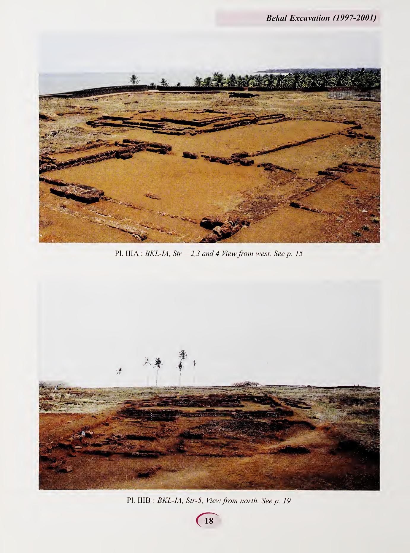
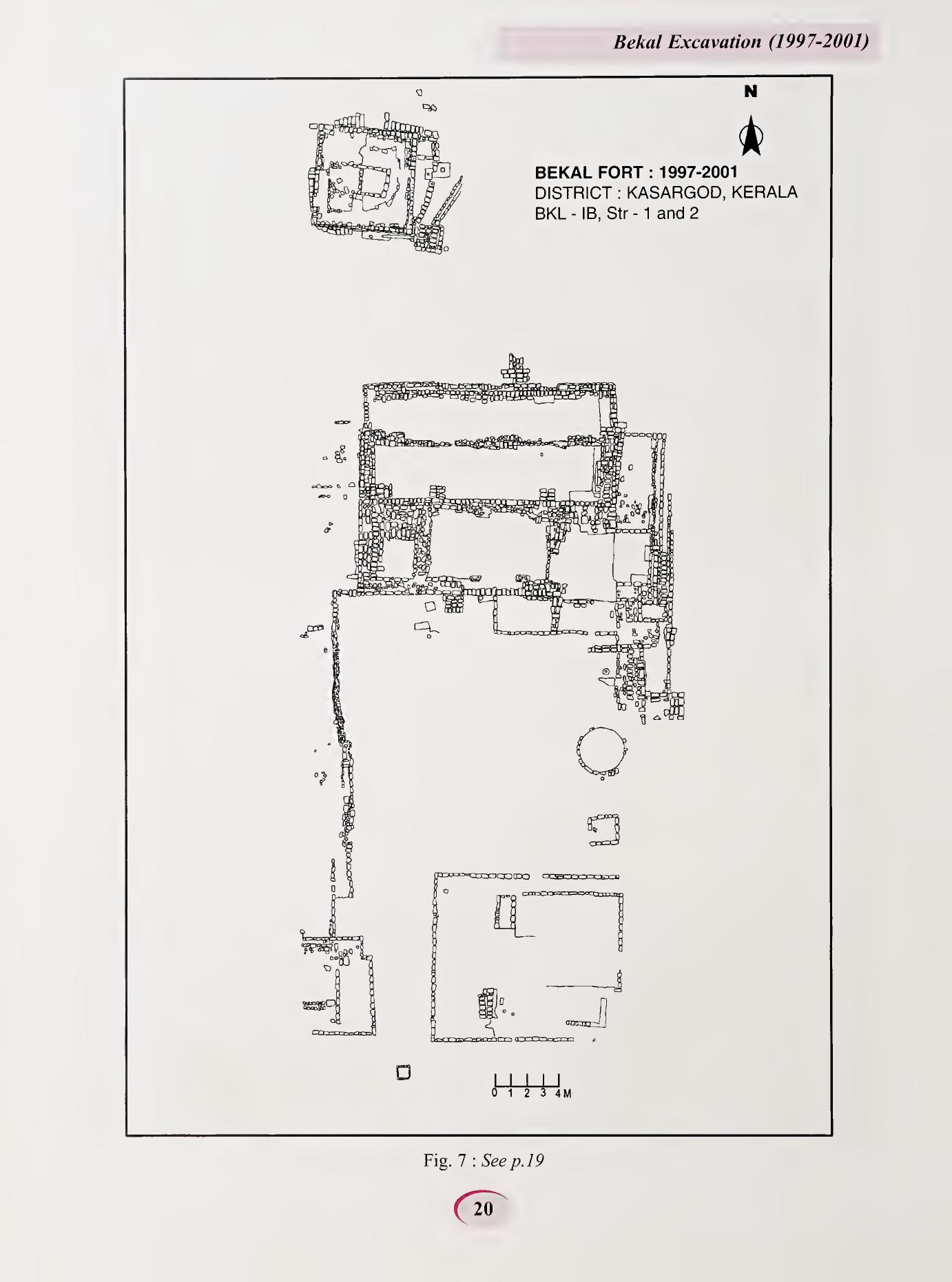
The Archaeological Survey ran four seasons of excavation at Bekal between 1997 and 2001, under T. Satyamurti as Superintending Archaeologist of the Thrissur Circle, and published the report — Bekal Excavation (1997–2001) — as Memoir No. 101 in 2009, with M. Nambirajan as the lead author. Three sectors were opened. The team turned up a Mint House identified as Tipu Sultan's, a Durbar Hall, a temple complex, palace and residential blocks built in the nalukettu plan that defines historical Kerala domestic architecture, and roughly 2,000 antiquities.
What they did not find is what makes the report interesting.
The textual past
Bekal's coastal stretch, on the textual record, is much older than its fort.
The earliest plausible reference is to Ezhimala, a port mentioned in Sangam-period Tamil literature (roughly the early centuries CE). The Mooshikavamsa, an 11th-century Sanskrit chronicle, lays out a long dynasty of local Mooshika kings centred at Ezhimala. Through the medieval period the area was part of the Kolathunadu kingdom, and the 16th-century Portuguese cartographer Duarte Barbosa records active trade up the Malabar coast. The Bekal area is in the zone of historic maritime trade in southern India that connected with the Mediterranean, the Persian Gulf, and East Asia — a zone whose southern anchor sites at Pattanam (the probable ancient Muziris) and Arikamedu have produced Roman amphorae and Mediterranean glass in striking quantities.
If you read the textual record forward, you would expect Bekal to sit on layers of trading activity. A Roman sherd, perhaps. An Arab glazed-ware fragment. A Sangam-period potsherd in a stratum below the fort.
The four trenches did not find any of those.
What was actually under the fort
The cultural deposit at Bekal is roughly a metre deep, sitting directly on laterite bedrock, and the report concludes the site is "stratigraphically a single cultural site" of the 16th to 19th centuries CE. There is no convincing pre-fort layer. Nambirajan and his team are direct about this — they were looking, the layers should have been there, and they weren't.
The fort itself was probably begun by the Keladi Nayakas of Ikkeri (a regional power based in north Karnataka) in the 16th or early 17th century. There is a long-running scholarly debate about whether the Kolathiri king of Kolathunadu had earlier fortifications on the same site, but the dig found no archaeological evidence for them; the question is open.
In 1763 the Keladis were defeated by Hyder Ali of Mysore, and Bekal passed to Mysore control. Hyder's son Tipu Sultan held it until 1799, when the British East India Company took it after the fall of Srirangapatna. The British administered it as part of South Canara district until Independence.
A mint inside the fort
The most concrete administrative finding from the dig is in sector BKL-IA. The team excavated a small room with a kiln, copper ingots, coin moulds, and a scatter of defaced and unstuck blanks — the working signature of a cash-coin mint. The coins recovered nearby tell a continuous story:
- Ikkeri Nayaka cash coins, from the pre-Mysore period — small copper pieces with Kanarese numerals on the obverse and double-crossed lines on the reverse.
- Tipu Sultan copper paise, with elephants on the obverse and Persian legend on the reverse, attributable on the legend marks to mints at Feroke, Bekal itself, and one or two others.
- Silver Puducheri panams — French-made pieces that circulated in the Malabar trade.
- British East India Company paise from the post-1799 period.
This is the everyday currency of an 18th-century coastal garrison. The presence of mint workings inside the fort is unusual — most South Indian regional mints were in major inland towns — and the Bekal mint argues for the fort's importance as a fiscal node along Tipu's coast.
What the fort ate off
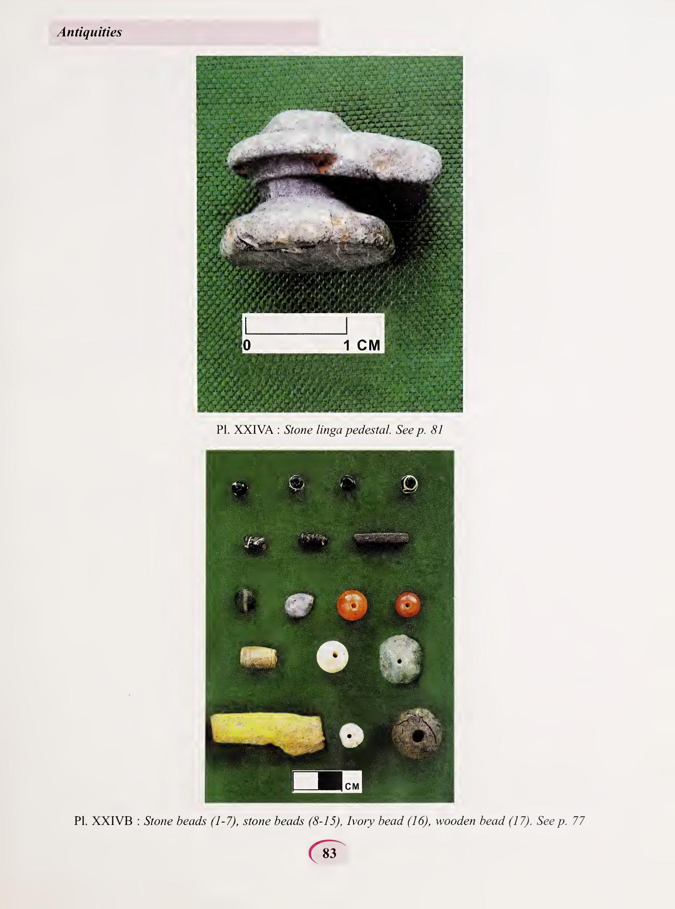
Among the 2,000 antiquities recovered, the imported pottery is the most evocative. The dig produced fragments of:
- Chinese blue-and-white porcelain — both Ming and Qing pieces, with floral-scroll motifs typical of the Jingdezhen export industry. A few sherds carry vertical Chinese characters.
- Chinese celadon — pale-green glazed ware, also export-grade.
- Iron-glazed stoneware of probably Chinese origin.
- Polychrome glazed ware, most likely 18th-century European.
- One late-18th-century enamelled fragment.
Comparable assemblages are reported from Kottapuram, near St Angelo's Fort in Kannur. None of this is Mediterranean, none is Roman, none is early Islamic. The Bekal trade goods are 17th-to-19th-century coastal South India — the period when Chinese export porcelain was the everyday up-market tableware of the Indian Ocean from East Africa to Manila.
So the qualified version of "the fort that was a port" goes like this: the fort was eating off Jingdezhen blue-and-white. The garrison and its officers used Chinese porcelain at the table and minted their own copper coins in a back room. The 200 years the fort was active were also the 200 years when the Indian Ocean ceramics economy moved Chinese pottery in working volumes into provincial South Indian forts. Bekal sits inside that network.
What the dig didn't find
The Sangam-era Ezhimala. The Kolathiri port. The early Chera presence on this coast. The Mappila trading network. Each of these is real in the textual record. None of them turned up in the trenches.
That is not necessarily a failure of either source. There are at least three possibilities. The pre-fort settlement may have been somewhere else along the coast — even a few kilometres can take you off the dig site. The pre-fort occupation may have been on the same site but was destroyed by 16th-century construction; the laterite bedrock here is shallow, and building a fort means digging foundations into it. Or the pre-fort population may have been making and using pottery and other material culture that simply didn't survive — perishable thatched buildings, low-fired pottery, organic trade goods.
The honest version of Bekal, as a result, is two-tiered. The fort is thoroughly documented; the trade network is real and present; the everyday culture of the 18th-century garrison is recoverable in detail. Whatever the coast was doing for the fifteen centuries before that, the trenches at the headland could not see it.